After the flash floods of Kedarnath, the People in Centre team supported the District Administration, Chamoli and the Karnaprayag Municipality by preparing GIS-based maps for undertaking disaster preparedness and development planning in the town area. As hill towns face a scarcity of buildable and safe land, this exercise prepared a land use plan, sensitive zone plan and slope analysis of the town area, which can form the base for any planning initiative. The report and maps are available on request.
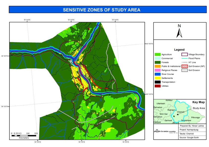
Facilitating Karnaprayag Municipality with GIS based Mapping for Disaster Preparedness
Prepared GIS-based maps for Karnaprayag Municipality to support disaster preparedness and development planning after the Kedarnath flash floods.
More Projects
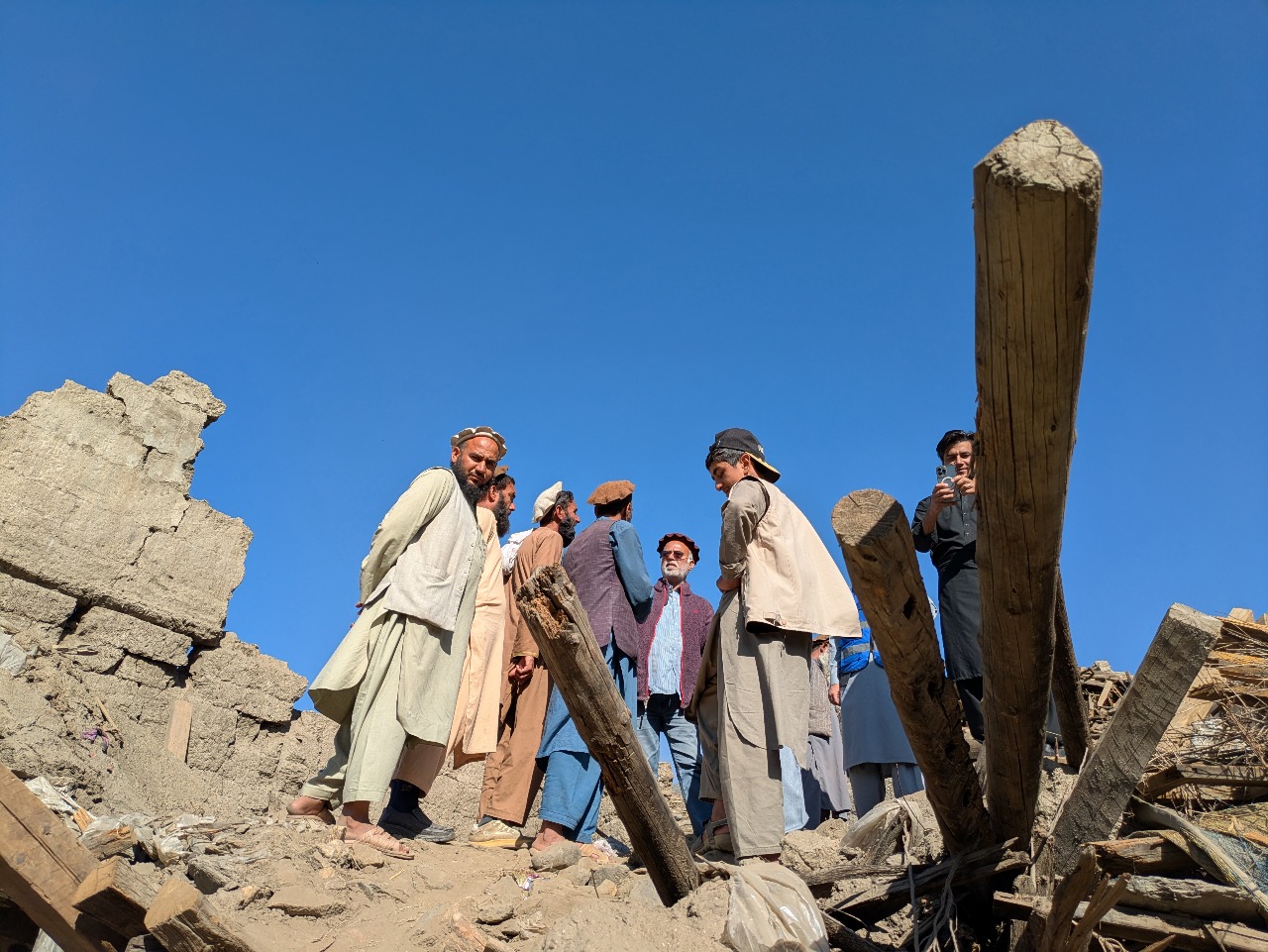
Joint Rapid Recovery Needs Assessment: The 2025 Eastern Afghanistan Earthquake
Led the housing damage and needs assessment of a joint recovery assessment after the 2025 earthquake in Eastern Afghanistan.
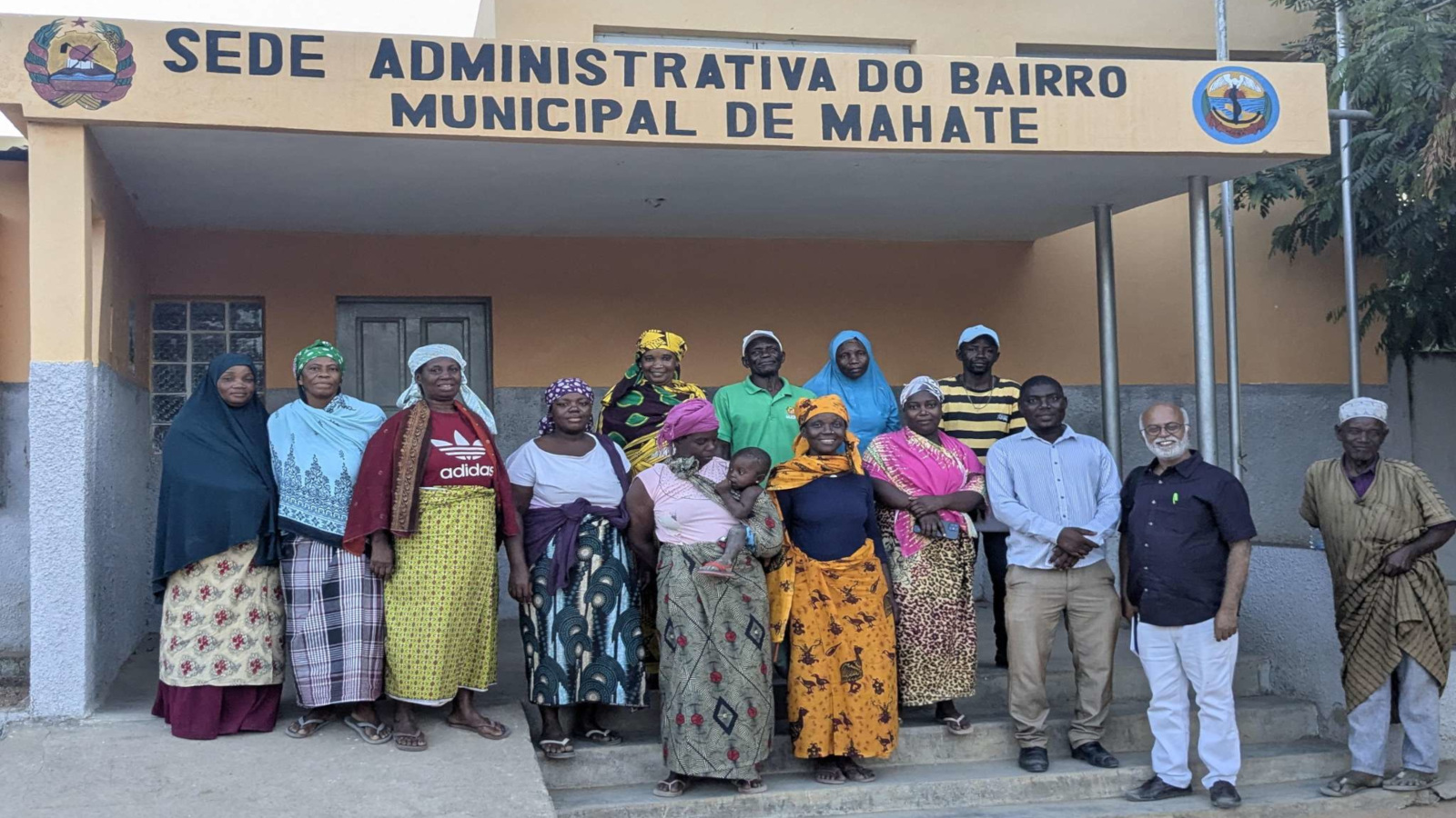
Evaluation of the Mozambique Recovery Facility
Evaluated the Mozambique Recovery Facility, the multi-partner programme established after Cyclones Idai and Kenneth, assessing its effectiveness, sustainability, institutional arrangements and recovery outcomes.
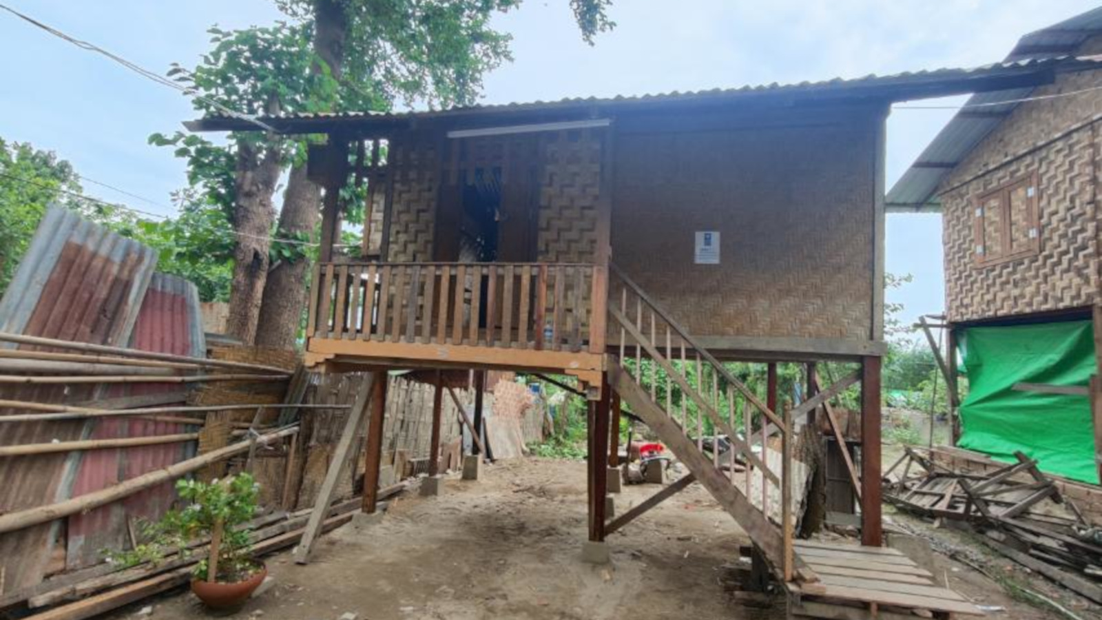
Facilitating Transitional Shelters after the 2025 Sagaing Earthquake in Myanmar
Prepared design options and technical guidelines for wooden-bamboo transitional shelters after the 2025 Sagaing earthquake in Myanmar.